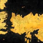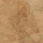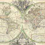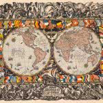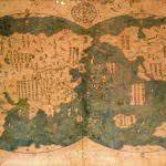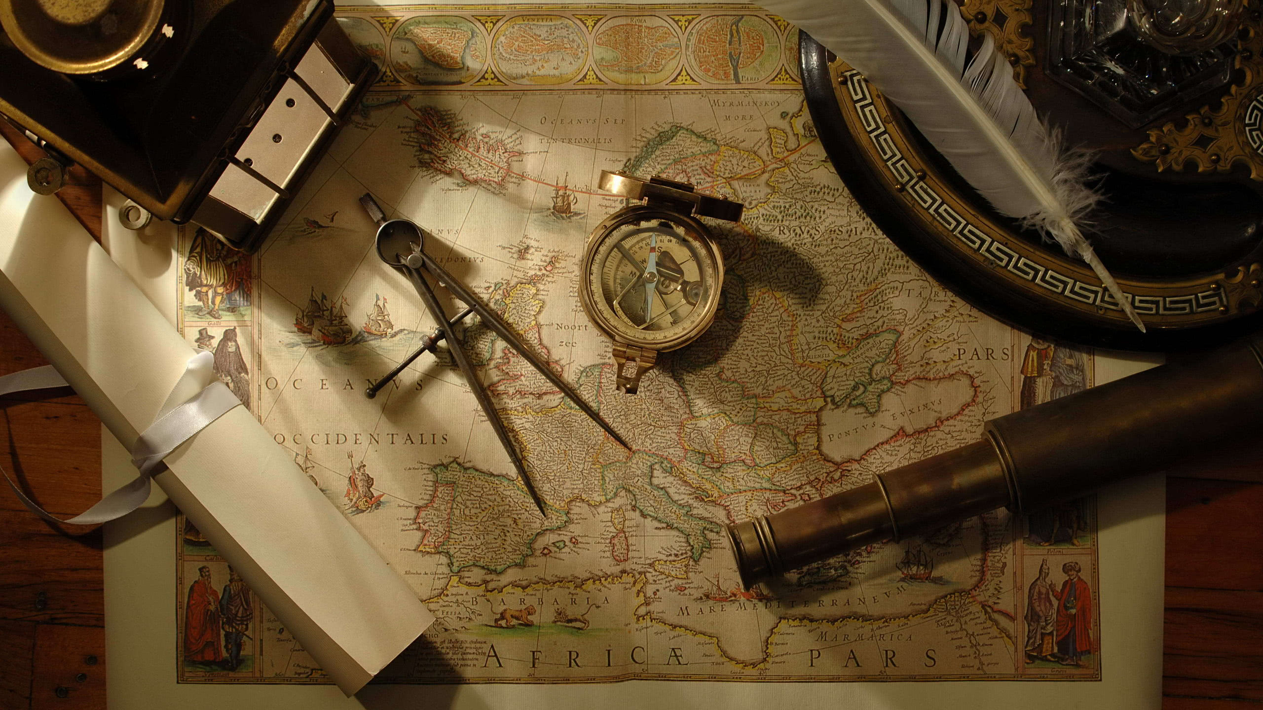
In the chronicles of exploration and navigation, maps and nautical tools stand as indispensable implements that have profoundly influenced the course of human history. Maps, evolving from ancient parchment scrolls to intricate digital renderings, encapsulate the collective knowledge of geography, offering a visual narrative of the world’s topography. Whether inscribed on ancient clay tablets by Babylonians or meticulously drawn by medieval cartographers, maps have served as a bridge between the known and the unknown, guiding explorers through uncharted waters and vast terrains. Nautical navigation tools, in contrast, symbolize a convergence of craftsmanship and scientific precision. Sextants, astrolabes, and compasses are artifacts upon which mariners and explorers have relied for centuries to navigate the open seas.
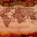
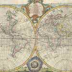
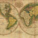
The progression of maps is a testament to humanity’s insatiable curiosity and its determination to comprehend the Earth’s contours. From the age of exploration, when cartographers painstakingly mapped unexplored territories, to the digital era, where satellites capture intricate details from space, maps serve as visual archives of human knowledge. They not only chart geographical features but also carry cultural and historical narratives, reflecting the understanding of different civilizations across epochs. Nautical navigation tools, crafted with a fusion of artistry and functionality, empowered sailors to traverse the vast oceans with precision. The sextant, a celestial navigation instrument, enabled mariners to determine their position using the angle between celestial bodies and the horizon. Astrolabes, with their rotating discs and dials, served as multifunctional tools for altitude measurements and timekeeping.
The magnetic compass, a simple yet revolutionary invention, granted sailors a reliable sense of direction, transforming maritime navigation. These tools, often fashioned with intricate details and calibrated with remarkable accuracy, embody the fusion of craftsmanship and scientific ingenuity. Together, maps and nautical navigation tools weave an interconnected narrative of human exploration, a saga unfolding across continents and seas. They symbolize the relentless human spirit that pushed boundaries and expanded the frontiers of knowledge. Even in the modern era of GPS and digital mapping, the legacy of traditional maps and nautical instruments endures, serving as a poignant reminder of the enduring quest to comprehend and navigate the world around us.